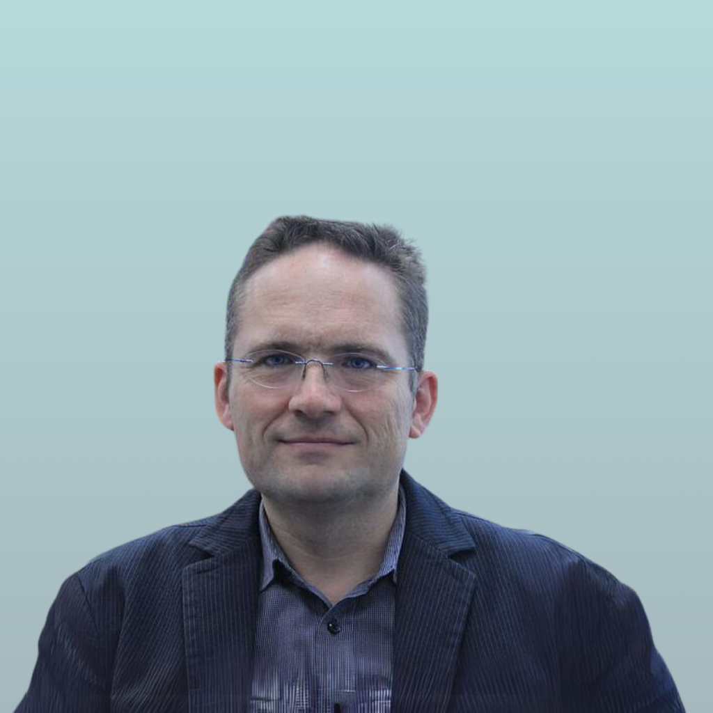
Nuria Martínez (DEC Manager at CEL) asks: Can you explain in your own words, what the egeniouss base technology is (and how you use it in your app)?
Markus Gerke (Head of Institute of Geodesy and Photogrammetry at TUBS) answers: egeniouss enables a more reliable and accurate satellite-based positioning and navigation solution in urban areas by integrating visual localisation supported by geospatial data. The idea to use such data to improve the positioning solution is not new, but egeniouss will lift it to a new level, and in the framework of this EU-based funding it will be accessible to everyone. The technology falls into the field of sensor fusion, that is, one task is solved through the combination of different, possibly complementary, technology. In egeniouss we combine two well-established techniques to use their respective strengths. GNSS only needs a direct line of sight to satellites to receive the broadcasted signal, but this is actually the problem in urban canyons: The signal is obstructed and reflected by buildings and other man-made structures, which deteriorates the positioning or even impedes a solution. Those buildings, in turn, can smartly be employed for visual localisation, especially since nowadays we have access to very high-quality imagery depicting urban objects, like mobile mapping and (oblique) airborne imagery.
Nuria Martínez (DEC Manager at CEL) asks: Where do you see the biggest impact for the citizens?
Markus Gerke (Head of Institute of Geodesy and Photogrammetry at TUBS) answers: Citizens will be able to use their smartphones for more accurate and reliable navigation in urban areas. Localisation and navigation is critical for many applications for laymen, but also for professional users. In particular, smartphones are nowadays ubiquitous companions, and navigation is a central functionality. In urban areas, however, one is biased by certain physical limitations of GNSS which reduces its benefit significantly. Examples are professional mapping, bike navigation, and future uses like guiding visually impaired people or autonomous driving. Regarding the use within drone operations, safety and more independence from one navigation system would impact future regulations. Strict drone regulations are currently a threat to large-scale business cases for those devices. With redundant navigation, some hurdles in the process can potentially become lower, which in turn will positively affect the range of applications.
Other mobile devices and apps will also benefit from this technology. In the future, we will see augmented reality devices, where an imprecise localisation solution would negatively impact the immersion experience for many applications. With the egeniouss base technology such applications would be much more useful in urban environments.
Nuria Martínez (DEC Manager at CEL) asks: What are the benefits for your company?
Markus Gerke (Head of Institute of Geodesy and Photogrammetry at TUBS) answers: As an academic partner, our benefit is mainly in the scientific knowledge gain and participation in the development and verification of state-of-the-art methods, Our currency as a University are publications and education of high-level researchers. With this project, we have multiple opportunities in those aspects. We are building on some pre-work which we are extending and scaling up in egeniouss. A particular challenge of this project is that we not only build a prototype but need to implement a large-scale application. For geo-spatial data, this also means big-data processing. However, we have strong (industry) partners in this respect and we all will learn a lot.
Nuria Martínez (DEC Manager at CEL) asks: What do you like most in the egeniouss approach?
Markus Gerke (Head of Institute of Geodesy and Photogrammetry at TUBS) answers: I like many aspects of egeniouss. The first is to make a modern navigation solution available (and open) for all, not restricted to black box, proprietary solutions. The project gathers experts from various fields and I am convinced that all do their best to bring egeniouss to a positive end. Furthermore, the consortium is relatively small, but very professional, which enables the project to move agile. Everyone who ever worked in a European collaborative research project knows that those are from a bureaucratic point of view very complex to deal with. However, our colleagues from AIT are handling all challenges with a very high level of professionalism.

