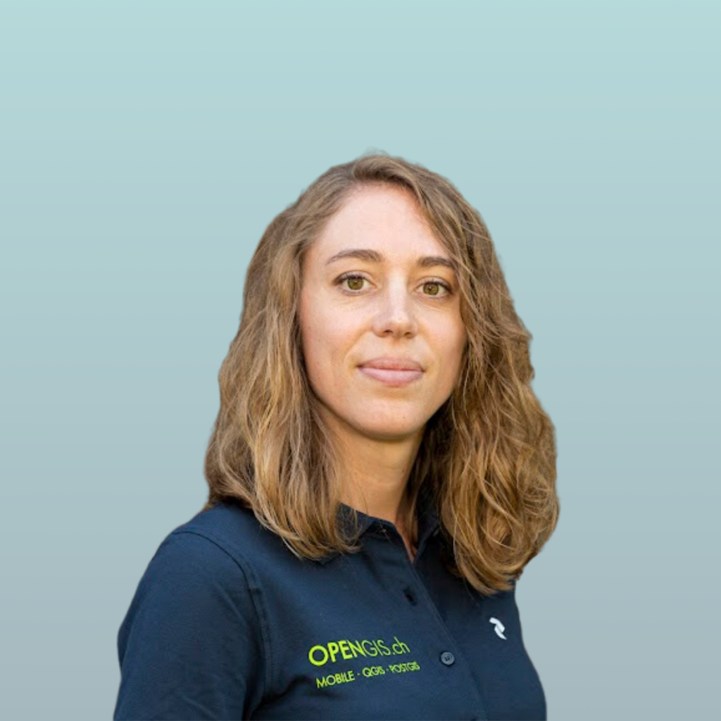
Nuria Martínez (DEC Manager at CEL) asks: Can you explain in your own words, what the egeniouss base technology is (and how you use it in your app)?
Lucie Nicolier (Land Surveyor and GIS-Specialist at OPENGIS.ch) answers: egeniouss is a visual localisation solution for urban environments, and the technology behind is based on photogrammetry and thus enhances existing GNSS positioning in a complementary manner. High buildings or urban canyons in cities can intercept, interfere, or distort satellite signals and make satellite navigation unreliable and inaccurate. QField app users expect the highest precision and accuracy possible even in challenging environments. For this, we need to look beyond what today’s technology offers why we are excited by the enhancements that egeniouss will add to the mix.
Nuria Martínez (DEC Manager at CEL) asks: Where do you see the biggest impact for the citizens?
Lucie Nicolier (Land Surveyor and GIS-Specialist at OPENGIS.ch) answers: today, everyone relies on navigation systems and maps. We use it in our daily life as professionals and as citizens. Yet, anyone of us has at least once taken a wrong turn because of navigation tools. The users of our app QField are people who collect or check data outside. They might include a facility manager responsible for building maintenance, a real estate manager verifying property boundaries, civil engineering department employees handling underground infrastructure maintenance and requiring knowledge of the depth and location of pipelines, or professional surveyors. They need fast, accurate location information or direct navigation, and cannot afford to take a wrong turn. Until now, navigation in urban areas lacked this level of accuracy unless you use heavy and expensive equipment. Egeniouss offers new possibilities in terms of accuracy and reliability. It is platform independent, so that you can use it on your mobile or tablet.
Nuria Martínez (DEC Manager at CEL) asks: What are the benefits for your company?
Lucie Nicolier (Land Surveyor and GIS-Specialist at OPENGIS.ch) answers: we are a small company dedicated to open-source technology, with a vision to make open-source GIS the de-facto industry standard by continuously pushing its high-quality products and leading-edge technologies. We develop, deploy and maintain visionary solutions to create value for customers. Combining the egeniouss technology with our app QField is a solution we are convinced will benefit many of our customers and will be an exemplary case in this industry.
Because it will be a solution built for professionals, but still be available to everyone. It benefits civilians, private companies, governments, and non-governmental organisations alike. Open-source is all about inclusiveness, and we are pleased to represent the open-source GIS community in this endeavour.
Nuria Martínez (DEC Manager at CEL) asks: What do you like most in the egeniouss approach?
Lucie Nicolier (Land Surveyor and GIS-Specialist at OPENGIS.ch) answers: collaborating with outstanding research institutions, experts, and innovative companies from Europe is a unique opportunity for us. We can bring in the user perspective and our experience working with municipalities, companies, and global institutions on data collection. At the same time, new academic research finds its way directly into products, where they create a tangible benefit for the civil and professional society alike.
What’s more, the protection and use of personal or business data is a sensitive topic, especially when it combines visual and location data. The fact that this project is guided under the EU and involves a variety of stakeholders makes it a genuine alternative to comparable solutions from big tech corporations. For some users, this will make the difference. And finally, it opens doors for future new applications that we can’t imagine right now such as augmented reality.

